Dear all wrf users,
I wan to use new MODIS land use data in WPS and replace it with WPS default land use data. Here is the the steps I have done:
1- MODIS HDF MCD12Q1 tile was converted to GeoTiff format using dal_translate
2- The coordinate system (sinusoidal) was changed to geographical lat-lon
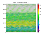
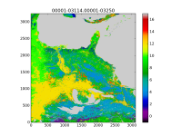
3- The GeoTiff file was converted to a binary raster file (gdal_translate -of ENVI MODIS.tif bianaryRaster.bil) and the file name (bianaryRaster.bil) was changed into ‘00001-ncols.00001-nrows’ (ncols and nrows are the number of columns and rows in the data file), then the binary raster file was copied into a new directory (named test_modis in this example) under WPS_GEOG directory
4- New index file (meta data file) was generated in the test_modis directory as below:
type=categorical
category_min=1
category_max=17
projection=regular_ll
dx=0.007553286
dy=0.007549054
known_x=1.0
known_y=750.0
known_lat= 35.748
known_lon= -92.35172
wordsize=1
tile_x=735
tile_y=750
tile_z=1
units="category"
description="MODIS 17-category land use"
iswater=17
islake=17
isice=15
isurban=13
5- The GEOGRID.TBL file which is located under WPS/geogrid directory was modified as below:
under the name=LANDUSEF session, these three line added as same as the other lines:
landmask_water = mcd12q1:17 # Calculate a landmask from this field
interp_option = mcd12q1:nearest_neighbor
rel_path = mcd12q1:test_modis/
in the nameless.wps, under &geogrid session, the name of the new data was addressed.
geog_data_res = 'mcd12q1',
The problem is that after running the geogrid.exe, the geo_em.d01.nc file is generated, but the LU_INDEX (dominant land use) and LANDUSEF is empty!
Note: The MODIS raster file spatially covers the domain 01.
A sample of MODIS land use GeoTiff file is available in the below temporary link:
http://climatology.ml/down/MODIS.tif
Any suggestion or idea would be appreciated.
Thanks.


