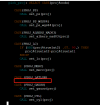
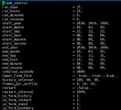
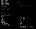
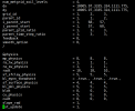
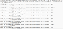
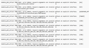
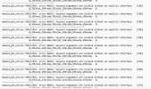
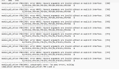
I intended to use bogus before real initialization. But I encountered this error.
You have not called map_set for this projection
-------------- FATAL CALLED ---------------
FATAL CALLED FROM FILE: <stdin> LINE: 614
LATLON_TO_IJ
My question is :
(1)Whether 'bogus' is not compatible for 'lat-lon' projection?
(2) How can I resolve this problem?
Looking forward to the reply!
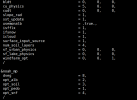
This is my set in namelist.wps:
dx = 0.0809516,
dy = 0.0809516,
map_proj = 'lat-lon',
ref_lat = 27,
ref_lon = 132,
pole_lat = 63,
pole_lon = 180.0,
stand_lon = -132,
And my set for tc.exe:
&tc
insert_bogus_storm = .true.,
remove_storm = .false.,
latc_loc = 27.25,
lonc_loc = 141.0,
vmax_meters_per_second = 70.0,
rmax = 33000.0,
vmax_ratio = 0.9,
/


