youhuiqi7455
New member
Dear WRF Experts
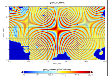
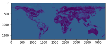
Recently I started my research on WRF. I try to add global gravel distribution data to WRF's CLM and add related parameterization schemes. This data is in netcdf format and includes gravel content, latitude, longitude and depth. I know what I need to do in the WPS section, but I don't know what I should do in the WRF.
With my understanding, I have to let WRF can identify my newly joined Landuse, this part of the modification is in registry.em_common? In addition, I must also join my gravel parameterization program, and finally make my gravel data play a role, then where should the parameterization program join?
In the end, there is a problem, I will eventually run the CLM in WRF, I don't know if this will make me a modification of additional documents (I'm not really sure how CLM works in WRF).
I don't know if my understanding is correct or I may not have clearly express my questions. But I am very eager to get some help.
Thanks a lot!


