Hi,
I am trying to run WRF with new greenness fraction calculated by MODIS NDVI. Actually, the size of single binary in folder greenfrac_fpar_modis(17.28M) is twelve times larger than that in landuse or topo(1.44M) in the default directory WRF3.9/DATA/WPS_GEOG/geog/. So I naturally guess the former contained twelve monthes data and am wondering if it has twelve float fields.
Questions:
1) Can anyone provide a input file(table, shapefile or raster) which contains fields information(name, type and length) and can be converted into binary in greenfrac. It will be helpful for new greenfrac binary preparation.
2) I am confused by variable "wordsize" in index. Does it means field length?
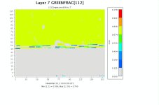
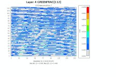
3) I input a new single month binary into WRF, the result is weird, full details are given in attachments.
Any details will be available!
Thanks
Fu


