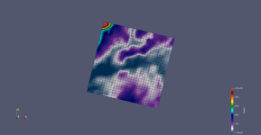
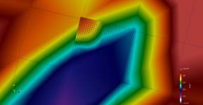
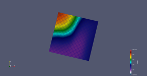
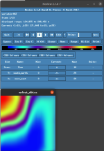
I'm having trouble running a nested simulation without the topography being greatly smoothened despite setting smooth_option = 0 in GEOGRID.TBL and namelist.input. The topography seems to be correctly loaded in the geo_em.d04.nc file, but the wrfout_d04 seems to use topography based on a smoothened version of geo_em.d01.nc, as illustrated in the attached images. The images are visualized in ParaView by first converting the .nc files to .vts files using SISO https://github.com/TheBB/SISO (i.e. siso -f vts wrfout_d01.nc --last --coords=utm:32u). Similar plots are obtained using ncview. I am using WRF Model Version 4.2.1 and WPS Version 4.2.
How do I avoid this smoothening such that maximal resolution (at least for the topography) for the innermost nested domain is obtained?
How do I avoid this smoothening such that maximal resolution (at least for the topography) for the innermost nested domain is obtained?


