Liliputian_123
Member
Dear WRF experts,
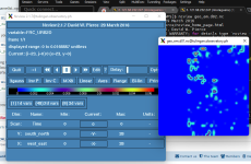
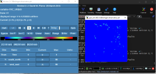
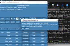
I am creating a new FRC_URB2D file, but for some reason, it is not properly read and integrated by geogrid.
All my files are uploaded here including the namelist.wps, GEOGRID.TBL, and the binary files.
 drive.google.com
The urban fraction file is in the range of [0,100] (one byte). I used a scale_factor of 0.01 in the index file.
I am using MODIS 21 land use.
Any idea how to fix this?
I'll appreciate any help on this matter.
I am creating a new FRC_URB2D file, but for some reason, it is not properly read and integrated by geogrid.
All my files are uploaded here including the namelist.wps, GEOGRID.TBL, and the binary files.
urban_fraction_experiments - Google Drive
 drive.google.com
The urban fraction file is in the range of [0,100] (one byte). I used a scale_factor of 0.01 in the index file.
I am using MODIS 21 land use.
Any idea how to fix this?
I'll appreciate any help on this matter.
Last edited:


