rabbanidu93
Member
Dear concern,
I get (800 mm/day) highly overestimated rainfall (compared to observation) over the middle part of Africa for domain that covers Africa, Asia and Australia (picture attached) using a local assimilated GFS dataset. But I am getting same overestimation using raw NCEP GFS (0.25x0.25) dataset. I tried to find the reason by selecting a domain that only covers only Africa. I have also checked by changing mp_physics 1,3,6 for different IC & BC. But, nothing solves the issue. Required things are attached.
Why does it happen? What can i do to solve this issue?
Thanks in advance.
Rabbani
Attachments
-
namelist.wps1.4 KB · Views: 3
-
namelist.input4.2 KB · Views: 7
-
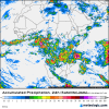 observation_satellite.png286.8 KB · Views: 1
 -
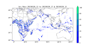 NCEP_GFS_6h2.png554 KB · Views: 1
 -
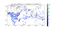 NCEP_GFS_6h1.png580.1 KB · Views: 1
 -
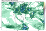 gfs_apcpn24_safr_3.png108.6 KB · Views: 1
 -
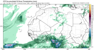 gfs_apcpn24_nafr_3.png98.7 KB · Views: 1
 -
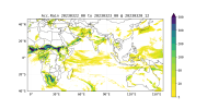 assimilated_gfs2.png806.9 KB · Views: 1
 -
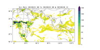 assimilated_gfs1.png847.8 KB · Views: 1
