Hi Chen,
I made the changes in the namelist.input. But they are for the domain and physics. I think I asked for the dynamic settings.
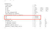
(1) I didn't see the dx/dy for all three domain is requested in the user's guide ( please see the screenshot below). So, I was thinking maybe it is okay to only putting the first domain value. But I added them back to my namelist. However, it doesn't change the rsl.out result.
(2) time_step=50 might make differences in calculation (run time). But I didn't see much difference between the previous run and fixed run, please see attached rsl*before* & rsl*after* files.
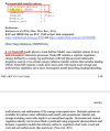
(3) I've seen the num_soil_layers is paired with the sf_surface_physics. And I selected the 4 for sf_surface, it might automatically calculate the soil layers=4 since it doesn't added as a required physical scheme in the user's guide. And, I don't know how much difference it would make between having num_soil_layers and not manually adding it. But I already added this. However, this doesn't answer my question.
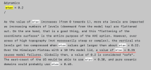
I searched the etac values. But they don't look clear to me. So, my question is what does it mean by over the High Mountain Asia (etac=0.25) would cause model failure. So, what value should be appropriate (please check the last screenshot below). I really was asking this specific setting in my namelist. Let me know if you have any suggestions.
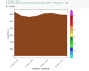
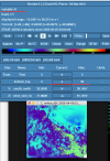
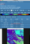
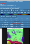
I used ncview to check the wrfout. And it does have values and I think they run properly. So, I skeptical about my wrf-python code right now. I probably should adjust the python to make the right maps. Then, again ~ I need to figure out the etac value. I wanted to know if it is reasonable in my case. I wanted to understand the silence behind it.
I really appreciate your quick response. Looking forward to hear back soon. Thank you very much, again!
Husile
